SOTA: Black Hills HP, March 23, 2026
Ever since starting Summits on the Air, I have been drawn to half-day activations. I often want to reach a trailhead, hike to the summit, make my contacts, and return home within just a few hours. In Maine, I had a handful of alternatives. With our move to western Washington, I hoped for similar luck.
Black Hills HP (W7W/SO-119)
Black Hills HP (high point) looked like it would be ideal. The summit is minutes from downtown Olympia and adjacent to a popular city park with numerous walking paths, bike trails, and logging roads. Despite its proximity to population centers it had been activated only 4 times, most recently in 2019.
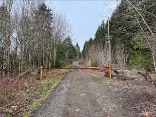
I found roadside parking along Black Lake Boulevard and followed established paths to a gated dirt road forming one access point to Marj Yung Park (formerly Kaiser Woods). For the most part, I used the SOTA Goat app to point the way to the summit. Near the gate, it indicated a 1.2-mile walk with 665 feet of elevation gain.
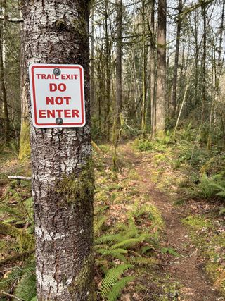
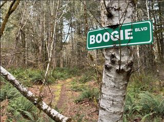
I tried taking the most direct route, but that proved tricky. The area is popular with mountain bikers and quite a few trails are one way only. Trail intersections are numerous, though, so I was still able to progress steadily toward my destination. Another minor nuisance on my "direct" route was an intervening up-and-down hill that I easily could have skirted to save a little breath.
Soon I was fully back on wide dirt roads and could see a couple of Douglas-fir trees that looked to mark my end point. I believe there's an unmarked property boundary along the way that may limit bike (and maybe foot) traffic for the last portion of the walk.
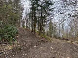
Just below the summit, on its north side, I found a rough-hewn road forking left and uphill. The road didn't appear on my maps but I took it into the activation zone. I set up in a small saddle close to the road since the summit would have required bushwhacking.
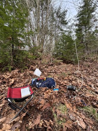
I started with a 40-meter end-fed halfwave, but it simply wouldn't tune. After that failure, I erected a 20-meter ground plane and started logging contacts. I was able to work 11 on 20 and another 3 on 2-meter FM for a successful activation.
Heading back out, I stuck to the main roads and made good progress. That's likely how I will approach the summit next time.
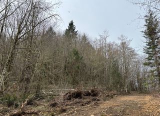
Black Hills HP is not a very pretty hike (at least in mid March) and I caught almost no views. There was a little bit of trash and I came across one makeshift dwelling, but overall the area seems respected and well maintained. As one of the lowest summits in SOTA's Southern Olympics region, Black Hills HP could be a nice starter summit. And it's the most promising half-day activation site near my new home.
Notes
- About the images: © Scott Richardson
- Back in the shack, I discovered a broken wire inside my balun housing. No wonder that wire wouldn't tune!
- A version of this trip report was posted to pnwSOTA.org.
- Last modified April 27, 2026. Image orientation corrected May 2.
- ← Previous
No Kings Protest, March 28, 2026